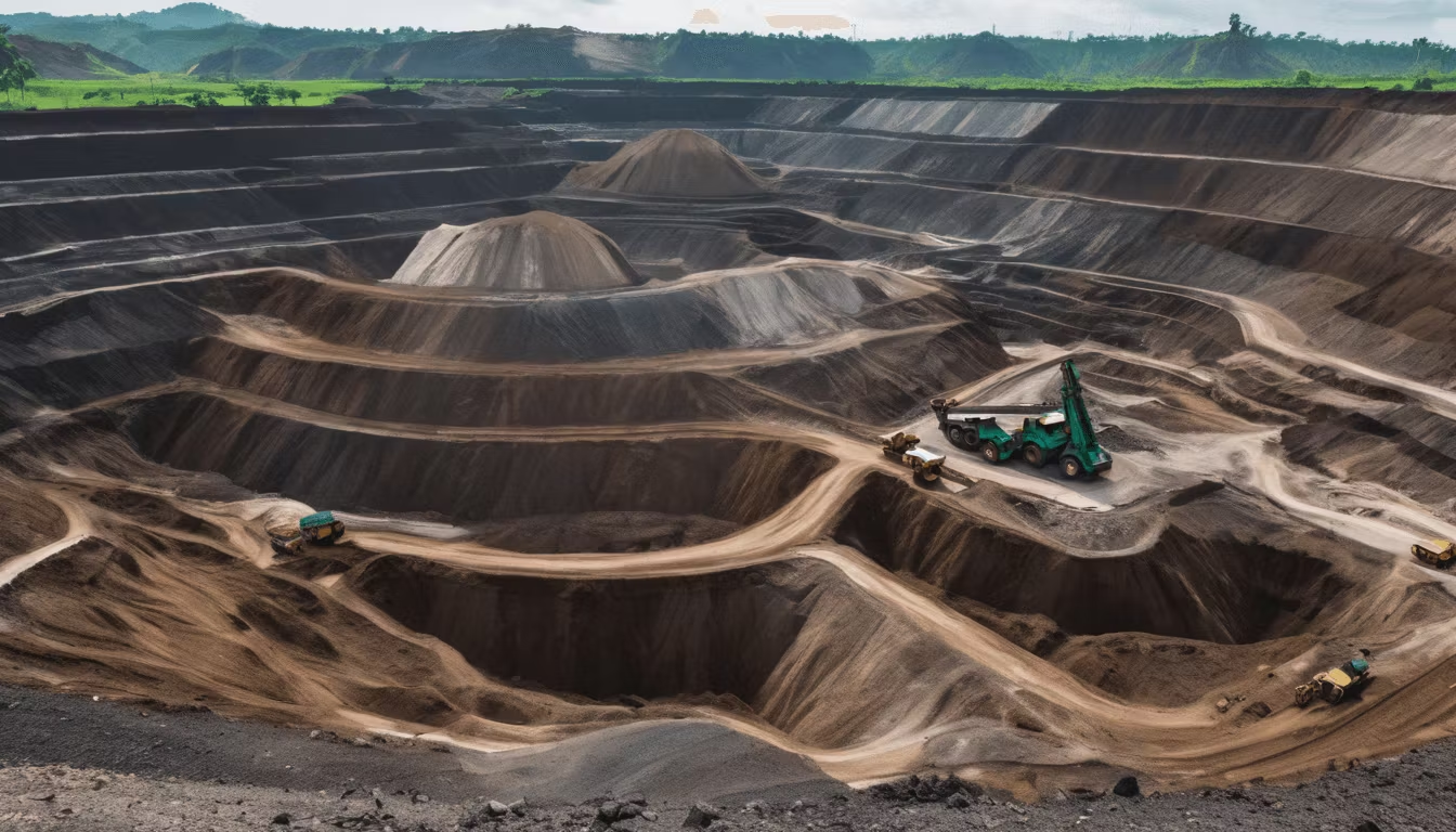
Mining Drone Technology: Surveying, Mapping & Monitoring
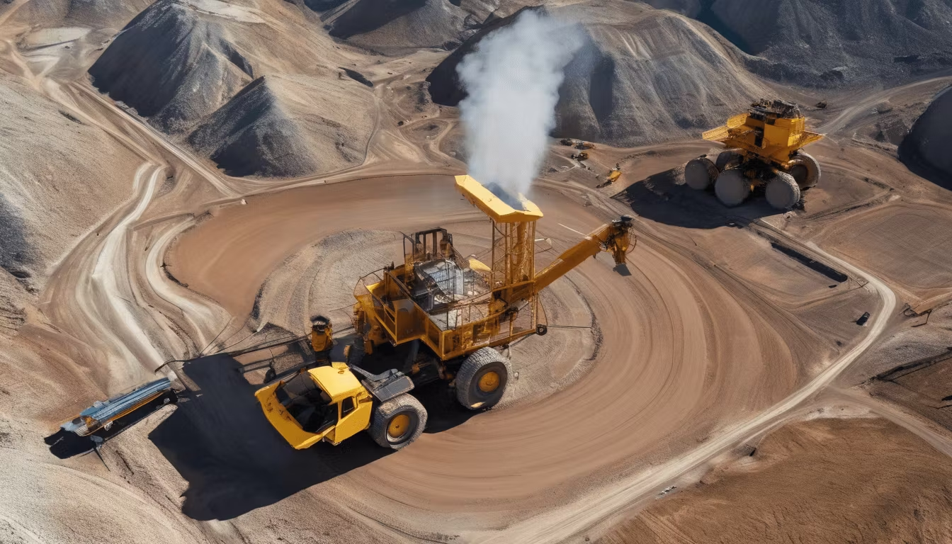
Mining Drone Technology: Revolutionizing Mineral Extraction Operations
The mining industry is undergoing a significant digital transformation, and drone technology stands at the forefront of this revolution. Mining drones have become indispensable tools for surveyors, operators, and mine managers across the globe, offering unprecedented capabilities for site assessment, resource estimation, and operational monitoring. For mineral trading companies and mining operators in Indonesia and beyond, understanding drone applications in mining is essential to maintaining competitive advantage and operational efficiency.
In this comprehensive guide, we explore how drone surveying for mines, aerial mapping technologies, and drone monitoring solutions are reshaping how the industry approaches extraction, quality control, and environmental management.
What Are Mining Drones and Why Do They Matter?
Mining drones are unmanned aerial vehicles (UAVs) equipped with specialized sensors, cameras, and data processing capabilities designed specifically for the unique demands of mining operations. Unlike consumer drones, mining-grade UAVs are built for durability, precision, and reliability in challenging environments—from high-altitude Andean mines to tropical operations in Southeast Asia's mineral-rich regions.
The Evolution of Drone Technology in Mining
Ten years ago, drone technology in mining was largely experimental. Today, it's a standard operational tool. Modern mining drones can:
- Capture high-resolution imagery and LiDAR data
- Create 3D models of mining sites with centimeter-level accuracy
- Monitor stockpiles and measure ore volumes in real-time
- Assess slope stability and identify geotechnical hazards
- Track environmental compliance across multiple hectares
- Generate detailed mine planning documentation
For companies trading in commodities like nickel ore from Indonesian mines, drone-based inventory verification has become an important tool for transparency and risk management.
Drone Surveying in Mining: Applications and Benefits
Pre-Development Survey and Site Assessment
Before any mining operation begins, comprehensive site surveys are essential. Traditional surveying methods require teams on the ground, consuming time and resources while exposing personnel to hazardous terrain. Mining drone technology eliminates these constraints.
Drones equipped with GPS and RTK (Real-Time Kinematic) systems can survey hundreds of hectares in a single flight, capturing precise topographic data. This information helps mining companies:
- Identify optimal pit boundaries and extraction zones
- Assess accessibility for equipment and infrastructure
- Evaluate environmental sensitivity and land-use constraints
- Plan haul roads and logistics networks
- Estimate capital expenditure requirements accurately
For mineral suppliers sourcing from multiple regions—like operations in Sulawesi's Morowali and Konawe districts or Kalimantan's expanding mining zones—drone surveys provide reliable baseline data that supports better sourcing decisions.
Mineral Resource Estimation and Volumetric Analysis
One of the most valuable applications of drone surveying is calculating ore body volumes and stockpile measurements. Using photogrammetry and LiDAR technology, drones create precise 3D point clouds that allow operators to:
- Measure stockpile volumes with 95%+ accuracy
- Track inventory changes between operational periods
- Identify inconsistencies in reported vs. actual reserves
- Optimize material movement and blending operations
- Support commodity trading decisions with verified data
For B2B mineral buyers and traders, this capability means enhanced due diligence. When evaluating supply agreements for products like silica sand with consistent SiO2 99.74% purity, drone-verified inventory reports provide confidence in supplier reliability.
Aerial Mapping in Mining: Technology and Implementation
Multispectral and Hyperspectral Imaging
Modern mining drones carry sophisticated imaging sensors that go far beyond standard RGB photography. Multispectral drones capture data across multiple wavelengths, allowing operators to:
- Identify ore types through spectral signatures
- Detect vegetation stress and environmental impacts
- Monitor water quality in processing areas
- Track surface changes indicating geological instability
Hyperspectral imaging takes this further, creating detailed mineral maps that can distinguish between mineral compositions—crucial for operations processing mixed ore types or managing complex geological conditions in regions like Maluku's Halmahera.
Creating Digital Twins of Mining Operations
Aerial mapping drones generate comprehensive data that feeds into digital twin technology—virtual replicas of physical mining sites. These digital models enable:
- Real-time monitoring of operational changes
- Simulation of extraction scenarios before implementation
- Predictive maintenance planning for equipment
- Enhanced safety training for personnel
- Better communication with stakeholders and regulators
Companies managing large-scale operations—particularly those supplying major nickel smelters, industrial parks, and cement manufacturers—benefit significantly from this integrated approach to mine management.
Orthomosaics and 3D Modeling
Drone aerial mapping produces orthomosaics—geometrically corrected aerial images that can be used like maps for precise measurements. Combined with 3D point cloud data, these create actionable intelligence for mine planning and operational decisions.
Key advantages include:
- Comparison across time periods to track pit progression
- Accurate measurement of bench heights and slopes
- Support for grade control sampling campaigns
- Documentation for regulatory compliance (RKAB requirements, IUP compliance)
Drone Pit Monitoring: Real-Time Operational Intelligence
Continuous Slope Stability Assessment
Slope failures represent one of mining's most serious hazards. Drone monitoring pit operations enables frequent, systematic assessment of slope conditions without exposing personnel to danger. Regular drone flights can detect:
- Surface cracks indicating stress
- Changes in slope angle through LiDAR comparison
- Water accumulation in critical areas
- Material runoff and erosion patterns
- Vegetation loss indicating subsurface movement
By establishing baseline drone data during initial surveys, operators create historical records that enable change detection—alerting management to developing problems before they become catastrophic.
Production Monitoring and Reconciliation
For trading companies and mine operators, reconciling geological estimates with actual production is critical. Drones support this through:
- Weekly or daily pit surface mapping
- Stockpile volume tracking correlated to grade control data
- Haul-away documentation for transparency
- Blending area monitoring for quality consistency
When suppliers maintain SUCOFINDO lab-tested quality certifications—as required for commodities like aluminium ingot and zircon sand—drone-verified production data strengthens buyer confidence.
Environmental and Safety Compliance Monitoring
Mining operations must comply with complex environmental and safety regulations. Drone monitoring supports compliance through:
- Regular photographic documentation of site conditions
- Water management area assessment
- Boundary fence and exclusion zone verification
- Dust and tailings containment monitoring
- Restoration area progress tracking
For companies holding multiple licenses—such as IUP OPK for mineral logam and non-logam, ET Batubara, and RKAB approval—drone monitoring creates comprehensive compliance records that satisfy regulatory requirements.
Drone Technology for Mineral Supply Chain Management
Supplier Verification and Due Diligence
B2B mineral buyers increasingly use drone surveys as part of supplier due diligence. Independent drone assessments can:
- Verify stated inventory levels at supplier facilities
- Document actual mining methods and environmental practices
- Assess infrastructure quality and operational readiness
- Provide third-party validation of production capacity claims
For commodities like silica sand with specific mesh grades (8-200) and precise chemical specifications, drone-based facility audits add transparency to the supply chain.
Quality Control Documentation
Drones serve as objective documentation tools for quality assurance. Consistent aerial imagery over time provides visual evidence of:
- Consistent extraction methods
- Proper material segregation
- Effective washing and processing quality
- Storage conditions and contamination prevention
Implementation Challenges and Best Practices
Regulatory Considerations
Mining operations must navigate drone regulations specific to their jurisdictions. Key considerations include:
- Civil aviation authority permits and certifications
- Flight restrictions near populated areas
- Data privacy and security requirements
- Environmental impact assessments for regular drone operations
Data Management and Integration
Drone surveys generate massive datasets. Effective implementation requires:
- Robust data storage and backup systems
- Integration with existing mining software (pit design, production planning)
- Trained personnel for data processing and interpretation
- Clear protocols for data security and client confidentiality
Cost-Benefit Analysis
While drone technology requires upfront investment, the ROI is compelling for most operations:
- Initial investment: $50,000-$500,000 depending on sensor sophistication
- Operational costs: $5,000-$20,000 monthly for regular monitoring
- Payback period: Typically 12-24 months through improved efficiency and risk reduction
- Long-term value: Enhanced decision-making and regulatory compliance
The Future of Mining Drones
Emerging technologies promise even greater capabilities:
- Autonomous Operations: Fully autonomous survey missions without human pilots
- AI and Machine Learning: Automated anomaly detection and predictive analytics
- Real-time Processing: On-board processing reducing data transmission requirements
- Swarm Technology: Multiple drones working in coordination for faster coverage
- Enhanced Sensors: Better precision for hyperspectral analysis and underground resource characterization
Conclusion: Strategic Advantage Through Drone Technology
Mining drone technology has transitioned from novelty to necessity. For mineral producers, traders, and operators, drones represent a critical tool for improving safety, efficiency, environmental compliance, and decision-making quality. Whether surveying new extraction sites, monitoring active pits, or verifying supply chain integrity, drone technology delivers quantifiable value.
At CV Indoalam Mineral Persada, we understand the importance of operational transparency and verified quality. Our supply agreements are backed by rigorous SUCOFINDO lab testing and comprehensive site documentation. We maintain strategic partnerships with major Indonesian mining operators across Sulawesi, Kalimantan, and Maluku, ensuring reliable sourcing of premium-grade minerals including nickel ore, silica sand, aluminium ingot, and zircon sand.
If you're evaluating mineral suppliers or implementing advanced monitoring technologies across your operations, contact us to discuss how our sourcing capabilities and commitment to quality can support your supply chain objectives. For more information about our products and operational standards, learn more about our company and our IUP OPK-licensed operations.